Posts

Image
Blackburn Point Park Factoids: 11.4 acres of water access spread across 3 sections Acquired in 2006 Owned and managed by Sarasota County Access to Little Sarasota Bay Unpaved trails Rules and Regulations: Hours: 6 AM - midnight (parking area); 6 AM - 10 PM (facility) Dogs must be kept on a hand-held, maximum 6-foot leash Amenities: Boat ramp Canoe/kayak launch Fishing Pier Picnicking Restroom Rowing facility Pavilion Insider Tips: The park is in 3 narrow sections with  no set trail. Easy to investigate on foot. Check out the swing bridge - maybe you'll get lucky and see it in action. What to Expect: Scenery Wildlife Boardwalk, pavilion, canoe/kayak launch,  fishing and picnicking facilities The historic swing bridge, constructed by  Champion Bridge Company and opened to traffic in December, 1926. Added to the National Register March 29, 2001. The tallest and leanest Great Blue Heron I have ever seen.
Image
Carlton Reserve Factoids: 24,565 acres 100 miles of trails (hiking, biking and equestrian) Acquired in 1984 Named after former Sarasota County Commisioner, Mabry Carlton Jr., a 5th generation cattleman who focused on conservation Composed of pine flatwoods, freshwater wetlands, oak hammocks and dry prairie Bordered by Myakka River State Park to the north and the Myakka River to the west Sarasota County's largest well field is located within the Reserve  Trail Map:  https://www.scgov.net/Home/ShowDocument?id=30004 Rules and Regulations: Hour: 6 AM - sunset No soliciting No open fires No glass No animals No motorized vehicles Leave all natural features, plants and animals undisturbed Carry in and out - water, snacks, toilet paper, sanitizer Amenities: Accessible partially 15 miles of bicycle Trails Canoe/kayak launch  Horse stables and trailer access Picnic pavilion (reservations 941-861-7275)  Picnic tables and grills Primitive campin
Image
Celery Fields Regional Stormwater Facility 6893 Palmer Blvd. Sarasota, FL  34240 Celery Fields Regional Stormwater Facility Factoids: 400 acres 7 miles of trails Handles runoff from 3,500 acres of the upper Phillippi Creek Basin Prior to being farmed as celery and vegetable fields in the early 1920's, this area was a rich muckland known as Big Camp Saw Grass and Tatum Saw Grass Later created the existing wetlands to improve the water quality and provide wildlife habitats Trail Map:   https://www.scgov.net/home/showdocument?id=30012 Rules and Regulations: Hours: 6 AM - sunset No soliciting No open fires No camping No glass Animals must be kept on a hand-held, maximum 6-foot leash Amenities: Restrooms available near parking lot Nature Center Birding (at least 225 species identified by the Audubon Society) Hiking Dog-friendly (leash required) Fishing Picnicking Unpaved trails 2.1 miles accessible sidewalks Boardwalks Benches Observ
Image
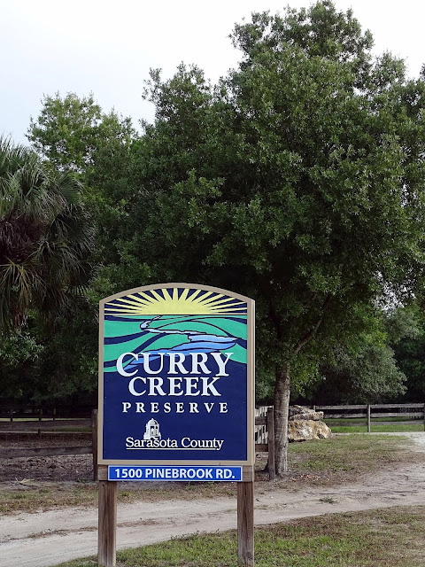
Curry Creek Preserve Factoids: 81 acres 1.5 miles of trails Named after the Curry family, pioneers who settled the area  Purchased in 2002 through the Environmentally Sensitive Lands Protection Program (ESLPP) Variety of habitats - longleaf pine flatwoods, scrub and narrow mangrove fringe along the creek, and pond apple trees Trail Map:   https://www.scgov.net/Home/ShowDocument?id=46156 Rules and Regulations: Hours:  6 AM - sunset No soliciting No open fires No camping No glass or alcohol No motorized vehicles No animals (at Pinebrook Rd. east entrance) No horseback riding (at Albee Farm Rd. west entrance) Dogs must be kept on a hand-held, maximum 6-foot leash (at Albee Farm Rd. west entrance) Amenities: Canoe/kayak launch (at Albee Farm Rd. west entrance) Interpretive signage Picnic tables Benches Unpaved trails Restrooms and drinking water are not available at this preserve All trails available for hiking and biking Insider Tips: